How we work
Every flight starts well before take-off
Planning, permissions and preparation for every shoot.

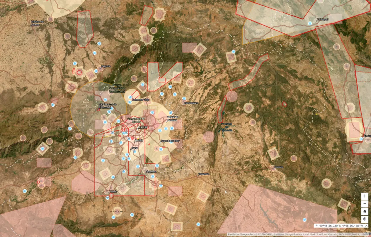
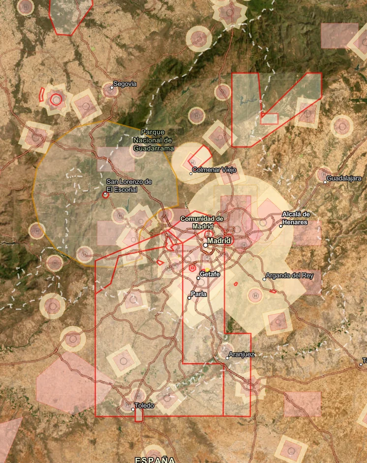
We assess the location
We review the location, restrictions and feasibility of the shoot.
We handle the paperwork
We prepare the permissions, notifications and coordination required for the project.
Documentation
- Permissions
- Notifications
- Coordination
We plan the shoot
We define the shots, flight route and measures to protect people and the surrounding area.
Shots
What we want to show
Route
How we connect the spaces
Surroundings
What we need to protect
We check before take-off
We check the equipment, weather and conditions on site. If they are not suitable, we adapt or postpone the flight.
Pre-flight checks
- Equipment
- Weather
- Flight area
Training and certifications
Pilots with AESA certifications converted to the European framework and the training required for the operations we carry out.